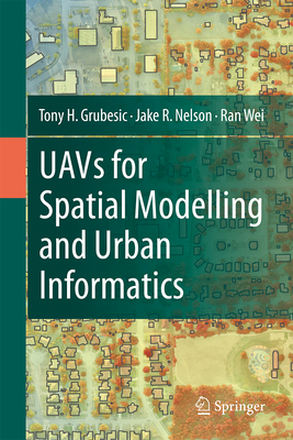
UAVs for Spatial Modelling and Urban Informatics
空间建模与城市信息学的无人机
航空运输
¥
1908.75
售 价:
¥
1527.00
优惠
平台大促 低至8折优惠
发货周期:国外库房发货,通常付款后3-5周到货!
出版时间
2024年04月08日
装 帧
精装
页 码
172
语 种
英文
综合评分
暂无评分
- 图书详情
- 目次
- 买家须知
- 书评(0)
- 权威书评(0)
图书简介
This book aims to provide a wide range of real-world applications in using unmanned aerial vehicles (UAVs) for geographic observation, spatial modeling, and urban informatics. Specifically, UAVs are incredibly effective platforms for connecting people, places, and technology. This book explores the utility of UAVs for monitoring, measuring, and improving urban infrastructure systems, urban sustainability, and the urban environment. The dynamism of cities provides opportunities for economic, social, and environmental change, but benchmarking and measuring cities continues to be challenging. This challenge is due, at least in part, to a lack of monitoring systems that can collect and analyze data at a granular enough scale to capture the nuance of local phenomena. UAVs offer a promising mechanism to fill this niche, serving as a measurement platform that can rapidly and inexpensively collect data and monitor change in cities. However, their use is fraught with social, operational, regulatory, and technical challenges for successful deployments. This book provides a resource for urbanists (e.g., planners, geographers, sociologists, epidemiologists, engineers), educators, and students who work with geographic information and seek to enhance these data using data and information from unmanned aerial vehicles. At the same time, we provide operational and methodological frameworks for carrying out these advanced analyses in a manner that considers the challenges of incorporating UAVs in research within the urban environment. We provide six unique applications of UAVs for urban analysis, detailing relevant policy and empirical questions, UAV mission parameters, data collection, spatial modeling, and the associated empirical results. Further, we discuss how best to integrate these results into actionable geospatial intelligence and policy development to improve city infrastructure systems, sustainability, the environment, and neighborhood quality.
本书暂无推荐
本书暂无推荐
看了又看

- 上一个