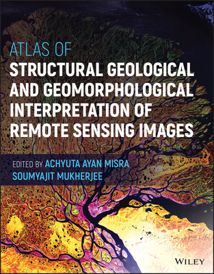
Atlas of Structural Geological and Geomorphological Interpretation of Remote Sensing Images
遥感影像构造地质地貌解释图集
地球科学史售 价:
¥
1404.00
发货周期:国外库房发货,通常付款后3-5周到货!
出 版 社
出版时间
2022年11月14日
装 帧
精装
页 码
272
开 本
21.59 x 27.62 cm.
语 种
英文
综合评分
暂无评分
- 图书详情
- 目次
- 买家须知
- 书评(0)
- 权威书评(0)
图书简介
Analyses of geological structure and geomorphology from remote sensing images have been one of the most important new developments in applied Earth Sciences. Complementing existing introductory books on remote sensing, this atlas gathers more than 20 different examples of structural geological and geomorphological studies by remote sensing. By following the real-life examples, readers will learn how to effectively interpret geological features and gather robust information from remote sensing images. This atlas has an abundance of high-quality images and looks at a diversity of structures and geomorphic features from different tectonic regimes and geographic localities in the Americas, Europe and Australasia. Its primary focus is on structural geology, but geomorphology is considered as well. Examples also cover geological hazards such as volcanic eruptions and earthquakes.
本书暂无推荐
本书暂无推荐


