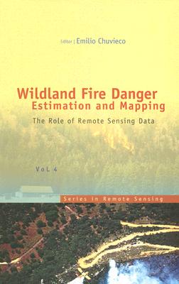
WILDLAND FIRE DANGER ESTIMATION AND MAPPING:THE ROLE OF REMOTE SENSING DATA(SERIES IN REMOTE SENSING)
环境科学技术基础学科
¥
1572.00
售 价:
¥
1179.00
发货周期:预计3-5周发货
作 者
出版时间
2003年10月01日
装 帧
精装
页 码
280
语 种
英文
综合评分
暂无评分
- 图书详情
- 目次
- 买家须知
- 书评(0)
- 权威书评(0)
图书简介
The book presents a wide range of techniques for extracting information from satellite remote sensing images in forest fire danger assessment. It covers the main concepts involved in fire danger rating, and analyses the inputs derived from remotely sensed data for mapping fire danger at both the local and global scale. The questions addressed concern the estimation of fuel moisture content, the description of fuel structural properties, the estimation of meteorological danger indices, the analysis of human factors associated with
馆藏图书馆
Harvard Library
本书暂无推荐
本书暂无推荐


